Series: History of Kinnaur, Himachal Pradesh, India
Phase 4: British Period — Part 17 of 30
This article is part of a wider series tracing the transformation of the western Himalayas under colonial influence. As British authority extended into the hills, existing political systems were restructured through treaties, administration, and new forms of governance. This phase considers how colonial rule reshaped society, economy, and space while leaving lasting imprints on local identity.
Winter Mornings in the Sangla Valley: A New Order Arrives
It is the winter of 1851, and the crisp air of Sangla Valley stirs with anticipation. Beyond the snow-laden apple orchards and stone hamlets, a column of British officers makes its careful way along the icy Sutlej, their path marked by the flutter of Union Jacks and the wary eyes of local elders. For centuries, these valleys, now known as Kinnaur, had been ruled by their own rhythms—a world of ancient faiths, clan loyalties, and trade with distant Tibet. But the British Raj, with its maps and ledgers, was about to redraw the boundaries of everyday life.
Kinnaur Before the Raj: Borders of Myth and Memory
Long before the British arrived, Kinnaur was a land where myth and memory intertwined with geography. Oral traditions, still recounted around winter fires, tell of ancestors descended from gods and demons, of the legendary Kinnauras—half-human, half-divine beings who gave the region its name. Yet even as legend loomed large, historical inference from regional chronicles and gazetteers reveals a pattern of local chieftains, or kanets, who governed their own territories, loosely connected to the shifting fortunes of powerful neighbors.
For centuries, Kinnaur’s villages looked both north and south. Trade routes stretched over high passes to Tibet, exchanging wool and salt for rice and cloth from the Indian plains. The valleys’ religious life reflected this porousness: Bon and Buddhist influences mingled with ancient forms of Hinduism, and shrines to mountain deities stood alongside Buddhist chortens. The boundaries here were not lines on a map, but living, negotiated spaces—defined by migration, marriage, and ritual.
The Shadow of Empires: From Bushahr to the British
By the late 18th century, Kinnaur’s fate became increasingly entwined with the princely state of Bushahr. The Bushahr rulers, seated at Rampur, claimed suzerainty over the region, collecting taxes and dispatching thanedars (local officials) to enforce their will. Yet, as regional gazetteers note, this authority was often “more nominal than real.” The Kinnauris, fiercely protective of their autonomy, paid tribute but preserved their own laws and customs, a fact the British would come to respect and exploit.
These foothills were not immune to the tides of violence that swept North India. The Gorkha expansion from Nepal in the early 19th century brought brief, turbulent rule to Kinnaur. Oral tradition remembers this as a time of hardship and resistance, but British records emphasize the strategic vulnerability of the region—its passes and rivers seen as gateways to Tibet and Central Asia.
The British Take Over: Drawing New Borders
When the British defeated the Gorkhas in the Anglo-Nepalese War (1814–1816), the Treaty of Sugauli redrew the Himalayan frontiers. Kinnaur, by then known as “Kanaur” or “Kunawar” in colonial records, fell firmly under the watchful gaze of the Raj. Early British administrators, such as Major Kennedy and Captain Gerard, arrived with a mix of curiosity and calculation. Their surveys, described in contemporary gazetteers, catalogued not just rivers and mountains but also customs, tax systems, and the complex patchwork of local authority.
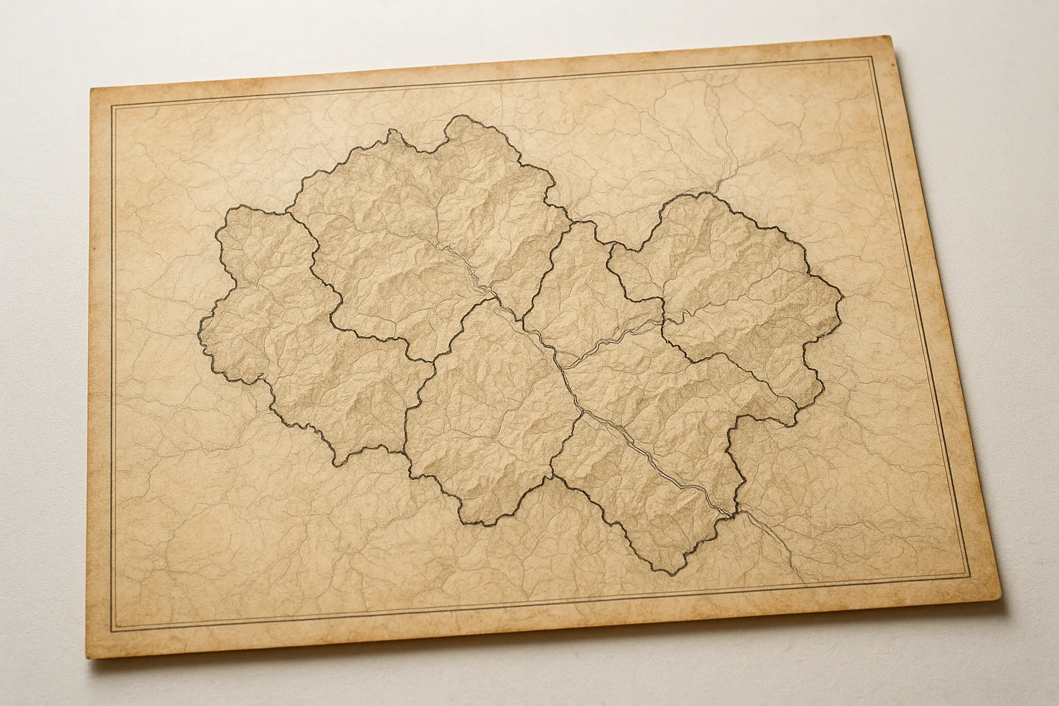
Colonial policy approached Kinnaur as both a buffer and a curiosity. Its proximity to Tibet made it a geopolitical frontier, yet the British were cautious not to provoke local unrest. They confirmed the authority of Bushahr, but also established direct channels of control through revenue settlements and the appointment of new officials. For the first time, boundaries were marked on paper, and the Sutlej valley was formally divided into tehsils under the Simla District.
The Border Question: Tibet, Trade, and Colonial Anxiety
The British obsession with borders extended beyond internal administration. The high passes of Shipki La and Nako, once open thoroughfares for traders and pilgrims, now became lines of anxiety. Fears of Russian influence in Central Asia and Chinese assertions over Tibet made Kinnaur’s borderlands a sensitive zone. British officers regulated caravans, issued passes, and kept meticulous watch on cross-border movement—while still relying on local headmen for intelligence and mediation.
Yet, as the 19th century wore on, the lived experience of border remained ambiguous for most Kinnauris. Trade continued, albeit more tightly controlled. Pilgrimages to sacred Mount Kailash endured, with rituals and permissions blending old traditions and new paperwork. The British drew lines; the Kinnauris crossed them, guided by the logic of the mountains rather than the dictates of distant Calcutta or Simla.
Communities and Governance: Old Ways Under New Masters
The encounter between colonial administration and local custom produced a distinctive form of indirect rule. British officers, wary of stirring unrest in these difficult terrains, allowed the Kinnauris to retain their devtas (village deities) as arbiters of justice and community affairs. Village councils continued to resolve disputes, their authority recognized in district records. The colonial “settlement” focused less on social transformation than on revenue extraction and surveillance.
Still, change was inevitable. The census-taking, mapping, and legal reforms of the Raj gradually eroded the old autonomy. Taxes were standardized, land was measured, and the English language—if only in translated orders—entered the administrative vocabulary. Some Kinnauris found new opportunities as guides, soldiers, and intermediaries; others grew resentful of distant officials and unfamiliar laws.
The Story in the Stones: Memory and Resistance
Among Kinnaur’s stone towers and prayer flags, the legacy of the colonial period endures in both memory and protest. Stories are told—sometimes quietly—of local leaders who resisted unfair taxes or defied intrusive surveys. In temple festivals and seasonal fairs, the community still gathers to reaffirm bonds that predate the British. The old border stones, weathered but standing, remind all passersby that lines on a map can never fully capture the living realities of the hills.
Legacy and Living Borders
Today, Kinnaur’s sense of identity is inseparable from its history as a borderland—shaped by ancient myth, princely negotiation, and colonial calculation alike. The rituals that mark the changing seasons, the polyglot languages spoken in its markets, and the intricate woodwork of its temples all bear the imprint of centuries of negotiation between openness and autonomy. The border, once a British preoccupation, remains a fact of life, but its meaning is made anew with each generation.
As we move forward in this series, the next chapter will explore how Kinnaur’s encounter with the British Raj set the stage for the political and social transformations of the 20th century—when independence, modernity, and new challenges would once again redraw the Himalayan map.
Previous: British Entry into the Trans-Himalayan Border Regions
Next: Life of Tribal Communities Under British Rule