Series: History of Sirmaur, Himachal Pradesh, India
Phase 5: Modern Era — Part 22 of 30
This article appears within a continuing historical series that follows the western Himalayas into the modern era. With the end of princely rule and the integration into independent India, long-standing social and political patterns were reconfigured. This phase examines how development, state formation, and memory interact with inherited landscapes, shaping contemporary life while carrying forward echoes of the past.
Midday at Nahan: The Shifting Heart of Sirmaur
The clock in the Nahan town square struck noon, casting long shadows over the domed structures lining the bazaar. Here, in the 1940s, local clerks and princely officials alike felt the ground shifting beneath their feet. The world outside Sirmaur was abuzz with the winds of independence and reform, yet within these hills, centuries-old rhythms of governance continued to pulse—until the moment came when reorganisation was no longer a distant possibility but an immediate necessity.
The Princely State to Colonial District: Laying the Foundations
For much of its recorded history, Sirmaur existed as a princely state—a domain ruled by the Sirmour royal family, whose authority stretched across forested valleys and up into the Shivalik foothills. Early chronicles, such as regional gazetteers compiled under British supervision, recorded the semi-independent status of Sirmaur, noting its alliances and occasional skirmishes with neighboring hill states like Jubbal, Bushahr, and the plains polities of Punjab.
Oral traditions in the villages surrounding Paonta Sahib and Rajgarh recall tales of wise rajas, just diwans, and the intricate dance of local chieftains. Yet, if one strips away the romance, a clear structure emerges: administrative control radiated outward from Nahan, with jagirdars and village headmen managing daily affairs, collecting revenues, and maintaining order. Trade routes—some dating to the Mughal era—wove through Sirmaur’s valleys, connecting salt traders from the plains to the apple growers of the upper hills. These routes were lifelines, and the taxes levied on them were vital to the royal treasury.
Belief Systems and Early Communities
Across Sirmaur’s undulating landscape, belief systems shaped not just spiritual life but also administrative boundaries. Ancient shrines—such as those dedicated to Bhangayani Devi and Renuka—became centers around which communities organized, their festivals marking both religious and fiscal calendars. The Gujjar herders, Rajput cultivators, and artisans of lower Sirmaur each played their part in the region’s social and economic tapestry, their distinct identities influencing how the state managed its people and resources.
Colonial Interventions and the First Modern Boundaries
The 19th century brought British paramountcy to the Himalayan foothills. Sirmaur, though retaining nominal independence, was drawn ever deeper into the administrative logic of the Raj. British officers posted as “Political Agents” began to standardize land revenue systems and codify local customs into written law. The Sirmaur Gazetteer, a product of this era, stands as a testament to both the curiosity and control imposed by colonial administrators.
Under British influence, the boundaries of Sirmaur were mapped with new precision. Survey teams traversed the forests, rivers, and ridges, translating oral claims into lines on paper. This was a time when the concept of a district—as distinct from a princely territory—began to take root. Administrative units were subdivided into tehsils, and the first formal police posts appeared along with outposts for revenue collection. The changes were subtle at first, but the seeds of reorganisation had been sown.
The End of Princely Rule and the Dawn of Integration
The tumult of 1947 reverberated even in the quiet valleys of Sirmaur. As India gained independence, the question hung heavy in the air: what would become of the princely states? The last Raja of Sirmaur, Amar Prakash, faced mounting pressures—from both Delhi and his own subjects—to merge with the new Indian state. The decision was not taken lightly. Oral histories recall tense meetings in the Nahan palace, as royal advisors debated the loss of sovereignty against the promise of joining a democratic republic.
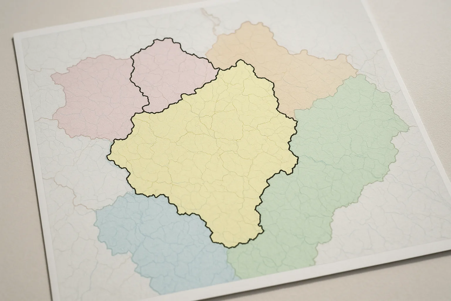
By 1948, Sirmaur had formally acceded to the Indian Union. Nahan, once the seat of royal power, was designated the district headquarters. The transformation was profound: hereditary offices were replaced with elected or appointed bureaucrats, and new administrative divisions—tehsils, blocks, panchayats—were drawn to reflect both population needs and state priorities. The district’s borders were finalized, encompassing towns like Paonta Sahib, Rajgarh, Shillai, and Renuka, each with its own sub-divisional offices and local governance structures.
Reorganisation in Practice: Voices from the Villages
For the people of Sirmaur, administrative reorganisation was not merely a matter of new maps or unfamiliar officials. It upended the rhythms of everyday life. In the newly formed tehsil offices, villagers accustomed to dealing with jagirdars now stood in line before government clerks. Land records were rewritten, sometimes to the benefit of cultivators who had long lacked formal title—and sometimes, as the oral traditions warn, at the expense of those unfamiliar with new procedures.
Yet, the reorganisation also brought new opportunities. The expansion of schools, health centers, and agricultural extension services in the 1950s and 60s was made possible by the district administration’s ability to coordinate resources across a broader region. Local festivals and panchayat meetings became not just social gatherings but forums for voicing collective needs, shaping policy from the ground up. The district’s diverse communities—Gujjars, Rajputs, Brahmins, and Sainis among them—found new ways to engage with power, sometimes clashing, often collaborating, as Sirmaur’s identity evolved.
Connecting the Past: Administrative Memory and Modern Sirmaur
Today, the echoes of those turbulent decades still shape Sirmaur. The district’s administrative headquarters hums with activity, its corridors lined with files that trace the lineage of villages, families, and disputes back to the days of princely rule. The names of old hill states live on in local memory, their boundaries occasionally resurfacing in land claims or during elections. The resilience of community institutions—temple trusts, forest councils, and local panchayats—reminds us that administrative boundaries, however meticulously drawn, are always layered atop deeper currents of tradition and belonging.
As Sirmaur continues to adapt—balancing rapid development with the preservation of heritage—the administrative reorganisation of the 20th century offers both cautionary tales and inspiring precedents. It is a story of adaptation, negotiation, and enduring identity.
Looking Ahead
The next chapter in this series will trace how Sirmaur’s governance intersected with larger state-building efforts in Himachal Pradesh, and how local voices shaped the district’s path through the latter half of the 20th century. The journey from princely rule to modern district is far from complete, and the echoes of reorganisation continue to resonate in every corner of Sirmaur.
Previous: Sirmaur’s Accession to Independent India
Next: Industrial Growth and Economic Change in Sirmaur