Series: History of Hamirpur, Himachal Pradesh, India
Phase 5: Modern Era — Part 25 of 30
This article appears within a continuing historical series that follows the western Himalayas into the modern era. With the end of princely rule and the integration into independent India, long-standing social and political patterns were reconfigured. This phase examines how development, state formation, and memory interact with inherited landscapes, shaping contemporary life while carrying forward echoes of the past.
Morning on the Ridge: A Hamirpur Crossroads
It is dawn in Hamirpur—a mild, golden light spills over the crumpled ridges. The low buzz of a lorry winding up the tarmac is nearly lost beneath birdsong and the soft clatter of village life. Yet, only a few generations earlier, this same hillside would have witnessed a different spectacle: a line of travelers, perhaps traders with salt and wool, or a wedding party, picking their way along a stony footpath that threaded its way between pine forests and terraced fields. For centuries, the roads of Hamirpur were not lines on a map but living arteries of mud, memory, and movement.
Hamirpur’s Place in the Hill World
Hamirpur’s strategic perch in the lower Himalayas—nestled between the Beas and the Sutlej rivers—has shaped its story from the outset. This region, with its rolling hills and intersecting valleys, lay at the confluence of ancient trade and migration routes. Early references in local gazetteers and the oral traditions of the region recall a land where Pahari clans, Rajput chieftains, and migrating shepherds all found their own paths. Some traditions, handed down in village gatherings, speak reverently of the region as the historical seat of the Katoch dynasty’s outlying domains, while archaeological inference hints at older, pre-Rajput settlements—though the tangible evidence is sparse.
The earliest routes here were less roads and more inherited memories: footpaths, animal tracks, and trails worn by centuries of use. These paths connected riverside markets, shrines on high hilltops, and clusters of hamlets tucked into gentle valleys. In these corridors, one finds the root of Hamirpur’s connectivity—a social web, as much as a physical one, binding together families, faiths, and economies.
Ancient Paths and Early Communities
Oral history in Hamirpur is rich with tales of journeys and wayfarers. The Gaddi shepherds, moving seasonally between pastures, are said to have trod routes that predate recorded memory. In folk stories, the hills themselves are alive with the footsteps of gods and saints, their journeys sanctifying the very stones.
Yet, by the time of the earliest documented history—when the first Rajput principalities crystallized in the broader Kangra region—these trails had become vital for more than myth. The rise of the Katoch dynasty in the 14th century, as chronicled in the regional Gazetteer of the Kangra District (and later British accounts), brought Hamirpur more directly into the orbit of northern Indian politics. Small forts and watchtowers, now little more than mossy ruins, once guarded river crossings and crucial passes. The movement of troops, messengers, and tax collectors left their own imprint on the landscape, stamping these informal paths with new importance.
Trade, Belief, and the Emergence of Hill States
Hamirpur’s roads were more than military conduits. They were lifelines for trade and pilgrimage. Salt, brought up from the plains, was exchanged for wool, ghee, and coarse grains grown on the slopes. Fairs—such as the legendary Chaitra Navratri gatherings—drew villagers from miles around, all streaming along the same ancient ways.
Religious connectivity shaped these networks as surely as commerce. Sacred sites like the Deotsidh cave—believed to be sanctified by the Siddha Baba Balak Nath—became pilgrimage centers, with footpaths radiating outwards through forest and field. Oral traditions and early chronicles agree: these routes helped knit together a sense of regional identity, even as political boundaries shifted with the ambitions of hill rajas and the encroachments of empires.
Colonial Transformations: Cart Tracks to Metalled Roads
The 19th century brought seismic change. With the expansion of British rule into the Punjab hills after 1846, Hamirpur found itself on the edge of a new administrative order. The colonial authorities, ever attentive to military logistics and the extraction of resources, commissioned surveys and began the slow work of road-building. The Punjab District Gazetteers from this era note the first “pucca” (metalled) roads—often little more than widened cart tracks—linking Hamirpur to emerging cantonments and market towns like Una and Kangra.
The British invested in infrastructure primarily for their own ends: troop movement, revenue collection, and the movement of forest produce. Yet, these roads also catalyzed new forms of mobility for local people. The annual migration of laborers, the arrival of new commodities, and the spread of education and information all accelerated along these arteries. The rhythms of daily life changed, slowly at first but with gathering momentum as the 20th century dawned.
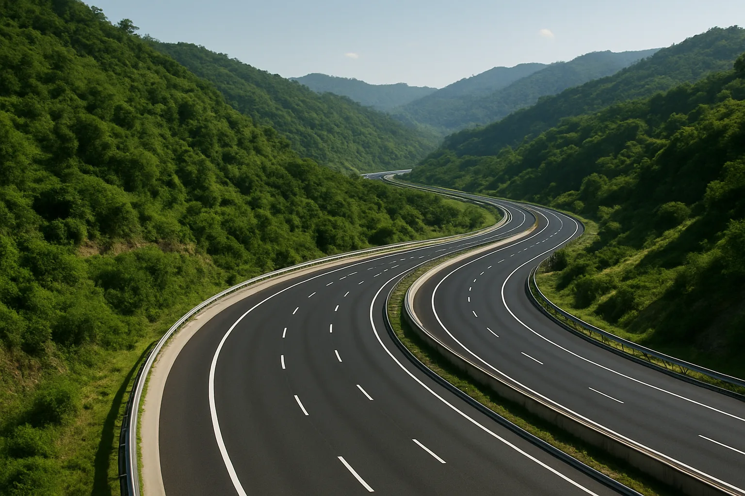
Post-Independence: The Age of Ambition and Asphalt
The decades after 1947 brought a new vision. Hamirpur, now part of Himachal Pradesh, was no longer a remote outpost but a district with aspirations. The post-independence governments—first at the state, then the central level—prioritized the construction of all-weather roads, recognizing connectivity as the foundation of development. The 1960s and 70s saw the arrival of modern highways connecting Hamirpur with Shimla, Mandi, and beyond. Bridges spanned rivers that had once marked the outer limits of local travel.
For local communities, the impact was transformative. Schools, hospitals, and markets became accessible year-round. The migration of youth to cities, the spread of new technologies, and the entry of the region into national economic circuits all followed the logic of the road. Yet, the new infrastructure also brought challenges: environmental pressures, the fading of some traditional livelihoods, and the need to balance progress with preservation.
The Modern Tapestry: Roads as Memory and Promise
Today, Hamirpur’s landscape is crisscrossed by a network of highways, rural link-roads, and forest tracks. Buses rumble through villages where, not so long ago, a journey of ten kilometers might consume a day. In many ways, the district’s identity is shaped as much by its roads as by its hills—the stories of movement, connection, and change are written into the very geography.
Yet, beneath the asphalt and concrete, the old paths remain: in the footfall of an elderly woman taking a shortcut to the fields; in the routes of processions during local festivals; in the collective memory of journeys made in another era. Hamirpur’s roads are both literal and figurative, symbolizing the region’s ongoing negotiation between tradition and transformation.
Continuity and Change: The Road Ahead
The story of Hamirpur’s connectivity is, at its heart, a story of adaptation. Every new road overlays centuries of movement and memory, yet also opens new possibilities. As the district continues to develop, its people face enduring questions: how to honor the paths of the past while forging new routes into the future?
The next part of this series will explore how these deep patterns of connectivity have shaped Hamirpur’s economic life—tracing the rise of trade, education, and industry along the roads that have always been its lifeblood.
Previous: Agricultural Transformation in Modern Hamirpur
Next: Urban Growth and Changing Lifestyles in Hamirpur Town