Series: History of Shimla, Himachal Pradesh, India
Phase 5: Modern Era — Part 24 of 30
This article appears within a continuing historical series that follows the western Himalayas into the modern era. With the end of princely rule and the integration into independent India, long-standing social and political patterns were reconfigured. This phase examines how development, state formation, and memory interact with inherited landscapes, shaping contemporary life while carrying forward echoes of the past.
Arrival at the Edge of the Clouds: Shimla’s Unforgiving Terrain
On a late monsoon morning in the early twentieth century, a visitor ascending the winding cart road to Shimla would have been greeted by a veil of mist and the sharp tang of pine in the air. Below, the valleys dropped away into shadow, while above, the ridgelines of the town seemed to float—delicate, improbable—against the pale sky. Shimla’s position, perched at over 2,200 meters on the southwestern slopes of the Himalayas, had long dictated the rhythm and limits of its human settlement. But with the British Raj’s decision to make Shimla the summer capital, the demands placed on this landscape became unprecedented—and so too did the infrastructural challenges that shaped the city’s modern identity.
The Hill as Obstacle and Opportunity
Historical records indicate that before the nineteenth century, the area known as ‘Shyamala’ (from which Shimla derives its name) was sparsely settled. Oral traditions among local communities—including the Bushahris and those from the nearby Keonthal and Jubbal states—describe a region of dense forests and scattered hamlets. The hillsides, revered as abodes of local deities, were both sanctuary and barrier: routes were arduous, and the land yielded little beyond subsistence crops and timber.
Early British gazetteers, notably the 1840s settlement reports, note that the site of present-day Shimla was selected as much for its defensibility and climate as for its isolation. The British, seeking escape from the heat and diseases of the plains, were nevertheless confronted by the harsh practicalities of transport, water, and supply in a landscape that resisted easy adaptation. The transformation from forested ridge to bustling administrative hub would require feats of engineering and a persistent negotiation with the mountain itself.
Forging the Arteries: Roads and the Kalka–Shimla Railway
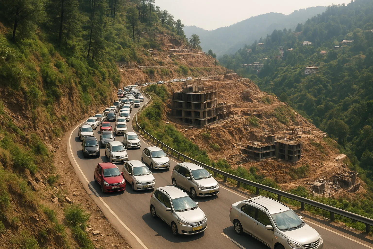
Shimla’s earliest infrastructure was a matter of necessity and improvisation. The first bridle paths, cut by British soldiers and local laborers in the 1820s and 1830s, wound precariously along contour lines. As official activity increased—especially after 1864, when Shimla became the summer capital of British India—the need for reliable access from the plains became acute. The steep gradients and unstable slopes meant that roads required constant maintenance, and landslides or heavy snowfall could isolate the town for weeks.
The construction of the Kalka–Shimla Railway, completed in 1903, was a turning point. Contemporary accounts in government gazetteers describe the technical marvel of the narrow-gauge line, which traversed 96 kilometers and included more than 100 tunnels and 800 bridges. Its arrival transformed not only the movement of officials, goods, and the seasonal influx of families, but also set the pattern for Shimla’s urban sprawl. Yet, the railway’s very fragility—frequent blockages from landslides, and the constant threat of erosion—reminded planners that the mountain’s challenges could never be fully overcome.
Water: The Lifeblood of a Growing Capital
Perhaps no issue has so persistently vexed Shimla as its water supply. The colonial obsession with the health of the hill station’s elite led to elaborate schemes to pipe water from distant sources. Early on, water was drawn from springs and streams several kilometers away—often over difficult, shifting terrain. By the late nineteenth century, the Giri and Churat streams became primary sources, their waters channeled through aqueducts and reservoirs ingeniously perched along ridges.
Archival reports from the 1910s and 1920s detail the struggle to keep pace with the city’s seasonal population swings, as well as the periodic droughts that left the town parched. Each expansion of the waterworks required not only engineering expertise but also delicate negotiations with neighboring hill states, whose own communities depended on the same fragile watercourses. The tension between urban growth and resource limits shaped not just the city’s infrastructure, but also its politics and relations with the wider region.
Housing the Raj: Urban Planning and Social Segregation
Shimla’s physical form is inseparable from its history as a colonial enclave. The town’s layout—long, narrow, and strung along a series of ridges—was dictated by geography, but its social contours reflected imperial priorities. Historical maps from the late 1800s show the deliberate separation of European quarters (notably the Mall and Chhota Shimla) from the ‘native’ bazaars and settlements, such as Lower Bazaar and Sanjauli. Building regulations, enforced through municipal acts, constrained the styles and heights of structures to maintain the town’s ‘hill station’ character, even as demand for space outpaced supply.
These policies had enduring consequences. The need to accommodate an expanding bureaucracy, and later the pressures of local migration, led to encroachments on steep slopes and the proliferation of informal settlements. The infrastructure of drainage, sanitation, and solid waste management—never robust—struggled to adapt, especially after Independence, when the city’s role as the capital of Himachal Pradesh brought fresh waves of residents and administrative functions.
Modernization and Enduring Limitations
In the decades after 1947, Shimla faced the dual burdens of maintaining its colonial-era infrastructure and addressing the needs of a democratic, rapidly urbanizing state. New roads and housing projects pressed further into the hillsides, often at the expense of ecological stability. Landslides, water scarcity, and overloaded public utilities became recurring challenges, as documented in Himachal Pradesh’s state development reports of the 1960s and 1970s. The legacy of early planning decisions—such as the concentration of services along the ridge and Mall—continued to shape patterns of congestion and inequality.
Yet, despite these limitations, Shimla’s identity as a hill capital remained intact. Its schools, government institutions, and cultural venues drew people from across northern India, while the rhythms of seasonal migration—so central to its colonial past—persisted in new forms. The city’s infrastructure, both visible and hidden, became a living palimpsest: a record of adaptation, improvisation, and the perennial negotiation between ambition and constraint.
Continuity and the Shape of the Present
The story of Shimla’s infrastructure is ultimately one of resilience and reckoning with the land. The challenges faced by its engineers and planners—steep slopes, unpredictable weather, limited resources—remain largely unchanged, even as technology and governance have evolved. Today, the city’s water pipelines and railway tunnels, its narrow lanes and distinctive architecture, are reminders of a past that continues to frame the possibilities and limits of life in the hills.
As we continue this series, the next part will turn to the lived experiences of ordinary Shimlaites—how communities have adapted to infrastructural constraints, and how public life in the hill capital reflects both the burdens and the opportunities of its unique geography.
Previous: Urban Growth and Population Pressure in Modern Shimla
Next: Tourism: Blessing and Burden for Shimla