Series: History of Solan, Himachal Pradesh, India
Phase 4: British Period — Part 16 of 30
This article is part of a wider series tracing the transformation of the western Himalayas under colonial influence. As British authority extended into the hills, existing political systems were restructured through treaties, administration, and new forms of governance. This phase considers how colonial rule reshaped society, economy, and space while leaving lasting imprints on local identity.
Mist over the Shivaliks
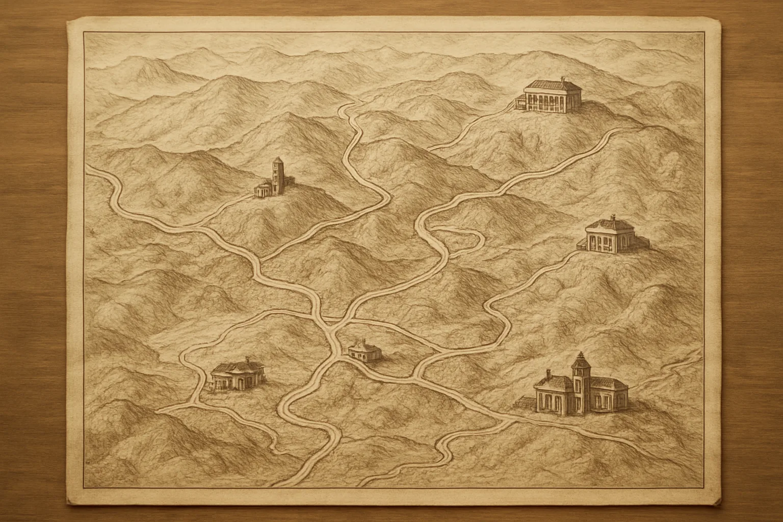
The damp air of early spring clung to the hills, and a thin veil of mist curled through the dense pine forests as the British survey party paused on a rocky outcrop above Solan. It was 1815. The officers, dressed in heavy wool and ledgers in hand, peered through brass telescopes, charting a landscape that had, until that moment, been the domain of Rajput chieftains, itinerant herders, and the deep-rooted deodar trees. The quiet was broken only by the distant call of a pheasant. In that moment, the British Raj’s gaze settled on the Solan Hills—a region soon to become a hinge in the ongoing contest for the Himalayan foothills.
The Great Game Comes to the Hills
By the early 19th century, the British East India Company had pushed its frontier northward, anxious to secure not just revenues but strategic mountain passes. The hills of present-day Solan, nestled between the Sutlej and Yamuna rivers, attracted British attention for more than their cool air. Here, the principalities of Baghat, Kuthar, and Mahlog guarded routes that could open—or threaten—British ambitions in the region.
In the wake of the Anglo-Nepalese War (1814–1816), the British emerged victorious but wary. The Treaty of Sugauli shifted territorial lines, bringing the hills into sharper imperial focus. Major General David Ochterlony, who had commanded the British forces in the campaign, was among the first to see the potential of the area. His reports described the region’s strategic ridges and the potential for sanatoria—an idea that would later transform hill stations across Himachal.
New Alliances and Old Hill States
Solan’s hills were not empty. Power ebbed and flowed through the hands of local rulers, whose lineages stretched back centuries. The rajas of Baghat and Kuthar, wary of both Gorkha and Sikh incursions, watched the new arrivals with a mixture of caution and calculation. The British, skilled in the subtleties of indirect rule, forged alliances and extracted treaties from the hill chiefs. In exchange for loyalty and a share of revenues, the rajas retained ceremonial authority—while the substance of power shifted to the British.
It was during this phase that the British penchant for precise mapping and revenue settlement began to take hold. Surveyors fanned out across the ridges and valleys, recording streams, villages, and fields. The revenue records they created would shape landholding patterns for generations.
The March of Roads and Rest Houses
Infrastructure followed swiftly in the wake of these new arrangements. British engineers, inspired by the potential of hill stations such as Shimla and Kasauli, began carving roads out of the steep terrain. In the 1830s, the Kalka–Shimla route was surveyed, with Solan poised as a vital midway point. The bridle paths that snaked through the region soon hosted a parade of troops, traders, and officials. Rest houses, known as dak bungalows, sprang up—modest outposts of British order, each with its own stories of monsoon deluges and uneasy nights.
The presence of the British also spurred the arrival of new crops and horticultural experiments. Apple saplings were planted, tea bushes attempted, and the legendary Solan brewery—one of the oldest in India—would soon be established by Edward Dyer in the mid-19th century, its location chosen for the region’s clear spring water and cool climate.
Encounters and Friction
With every new road and contract, cultures collided. For Solan’s residents—Pahari-speaking farmers, artisans, and merchants—the British brought both opportunity and disruption. Some found work as porters or clerks. Others bristled at new taxes and the unfamiliar legal codes. The British, for their part, saw themselves as bringers of order but, in practice, often misunderstood the nuanced social fabric of the hills.
Occasional disputes over land or forest rights flickered into open protest. Oral histories from villages surrounding Solan recall episodes where British survey parties were met with stone-throwing crowds, or where local elders negotiated fiercely to protect grazing grounds. The colonial administration responded by formalizing forest boundaries and instituting new policing methods—changes that would reshape local autonomy and resource use for decades.
Sanatoria, Soldiers, and the Shadow of Shimla
As the 19th century wore on, Solan found itself increasingly in the orbit of Shimla—declared the summer capital of British India in 1864. The “Queen of Hills” drew administrators, memsahibs, and political intrigue, but Solan became its quieter cousin: a retreat for military regiments, a site for convalescence, and a crucial supply hub. The cantonments of Dagshai and Subathu, perched on neighboring ridges, bustled with British and Indian troops. Their barracks and parade grounds still echo in the landscape today.
The proximity to Shimla made Solan a coveted posting for British officials, who would escape the city’s bustle for the serenity of the lower hills. The arrival of the Kalka–Shimla railway in 1903 further cemented Solan’s role as a gateway—its station a point of passage for generations of travelers, from viceroys to schoolchildren setting off for boarding schools in the hills.
Enduring Legacies
The British entry into the Solan hills was far more than a change of rulers. It triggered a cascade of transformations: in governance, land use, architecture, and culture. The stone churches, colonial-era schools, and the brewery’s distinctive chimneys are visible reminders, but the deeper impacts run through the region’s social memory. Families still recount stories of ancestors who worked for the “Company Bahadur” or who resisted land surveys. The network of roads and rail laid down in those decades continues to shape daily life and the rhythms of seasonal migration.
Today, Solan’s unique blend of hill town charm, horticultural abundance, and educational centers reflects this layered past. The British arrival did not erase older traditions but set in motion new encounters—sometimes fraught, sometimes fruitful—that continue to define the identity of Solan and its people. As one walks the shaded lanes beneath aging deodars, the echoes of those first British footsteps still linger, reminding us that history here is not just found in books, but in the stones, the stories, and the very air of the hills.
Previous: Architecture of Traditional Homes and Temples
Next: Railways and Roads: Transforming Solan Under British Rule