Series: History of Lahaul & Spiti, Himachal Pradesh, India
Phase 4: British Period — Part 17 of 30
This article is part of a wider series tracing the transformation of the western Himalayas under colonial influence. As British authority extended into the hills, existing political systems were restructured through treaties, administration, and new forms of governance. This phase considers how colonial rule reshaped society, economy, and space while leaving lasting imprints on local identity.
Early Morning on the Changthang: A Scene Set in 1865
It is the summer of 1865, and the first rays of sun slip across the glacial peaks above Keylong, painting the Chenab valley in a flood of gold. Amid the clear, rarefied air, a small caravan—yaks, laden ponies, and their Lahauli handlers—pauses at a cluster of whitewashed stupas on the road to Spiti. The air buzzes with anticipation and uncertainty: a British survey party, accompanied by local officials, is expected to arrive by midday. The villagers whisper of new borders, unfamiliar taxes, and the distant authority of Simla.
Historical Anchor: The Threshold of Empire
Lahaul and Spiti—cradled in the high Himalayas—were for centuries lands of shifting frontiers and layered sovereignties. Before the British Raj, these valleys lived at the crossroads of kingdoms: the rulers of Ladakh, Kullu, Chamba, and even the distant powers of Tibet and Kashmir all played their part. Oral traditions recall alliances and rivalries, the exploits of local chieftains, and the sanctity of ancient trade routes traversed by salt, wool, and stories. Yet, by the mid-19th century, these local patterns would be tested as the British Empire extended its reach into the Himalayan rimlands.
From Folk Memory to Official Records
The people of Lahaul and Spiti have long told tales of lamas and kings, of magical rivers and hidden treasures. These stories, passed down in winter hearths, shape local identity but rarely align neatly with external histories. Early British officers—meticulous, skeptical, and often bewildered—found the region’s oral traditions both alluring and confounding. As documented in the Kangra District Gazetteer (1883) and the imperial survey reports, they sought to demystify the region through precise mapping, ethnographic notes, and the codification of boundaries. Chroniclers like Alexander Cunningham and A.H. Francke would note the tension between myth and record, between the invisible borders of faith and the hard lines of colonial cartography.
Communities, Beliefs, and the Fabric of Settlement
By the time British administration arrived, the valleys of Lahaul and Spiti were home to a mosaic of peoples—Bhotias, Bodhs, Thakurs, and Lamas—each with their own languages, religious customs, and seasonal rhythms. Buddhist monasteries, like Tabo and Key, served as spiritual and social centers. Villages clung to riverbanks and terraces, their houses whitewashed against the glare of snow. The harsh environment demanded cooperation, and ancient institutions—such as the goba (village headman) and monastic councils—regulated life, from irrigation to dispute resolution.
Trade was lifeblood. The old caravan routes, threading through Baralacha La and Kunzum Pass, connected Lahaul-Spiti with Tibet, Ladakh, and the fertile plains below. Salt, wool, barley, and precious turquoise changed hands at windswept fairs. These routes, as chronicled in British administrative reports, would become the focus of new anxieties about security, taxation, and control.
Emergence of Colonial Authority
For the British, the strategic value of Lahaul and Spiti lay in their proximity to Tibet and the volatile northwestern frontiers. After the Anglo-Sikh wars, the region was gradually incorporated into the Punjab Province. The administrative line was drawn: Lahaul was attached to the Lahul Tehsil of the Kangra District, while Spiti became a sub-tehsil of Kullu. British officers, working from distant headquarters in Simla and Kullu, relied heavily on local intermediaries—often the same hereditary headmen and monks who had governed for centuries.
Colonial administration brought changes both subtle and profound. New revenue settlements were imposed, replacing barter systems with cash assessments. Land surveys, often conducted in the face of local skepticism, sought to codify ownership and obligation. The British, faced with challenging geography and sparse populations, pragmatically retained much of the existing social order, but always under the ultimate authority of the Raj.
Border Policies and the Anxiety of Lines
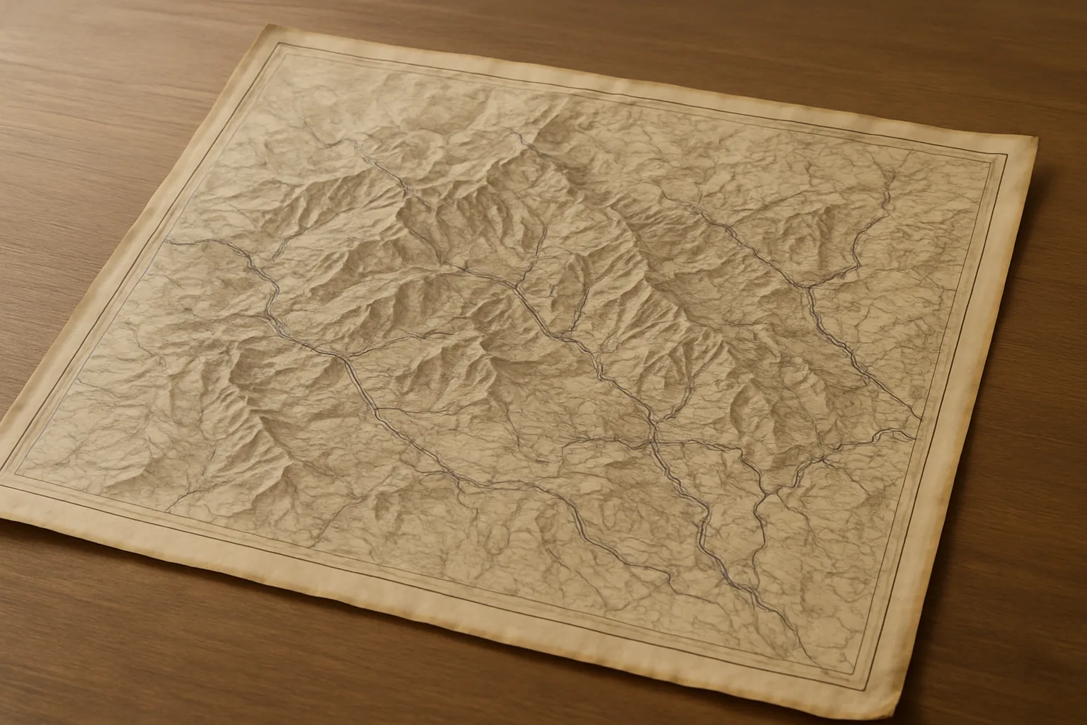
The question of borders consumed the colonial imagination. Unlike the fluid boundaries of earlier centuries—marked by rivers, mountain passes, or the reach of a monastery’s influence—the British demanded fixed, mapped frontiers. The first detailed surveys of the region, including those by the Great Trigonometrical Survey, attempted to crystallize the ambiguous: where exactly did Spiti end and Tibet begin? How far did the authority of Kullu or Chamba extend?
Negotiations with neighboring states and Tibet were conducted with a mix of diplomacy and imperial assertion. The British signed agreements with the rulers of Ladakh and Tibet, seeking to prevent rival influence and secure safer trade routes. These efforts were not without resistance. Local rulers, aware of the stakes, lobbied for autonomy or favorable terms. The people of the valleys, meanwhile, found themselves living between worlds—subject to new taxes, new laws, and new expectations, yet still deeply anchored in their own traditions.
The Everyday Realities of Colonial Rule
For the ordinary residents of Lahaul and Spiti, the colonial era was a time of both disruption and continuity. The British presence was rarely overwhelming: a handful of officials, traveling by pony or palanquin, would visit each year, their authority reinforced by the distant might of the Punjab administration. Yet, the routines of village life—agriculture, prayer, festivals—continued much as before, shaped by the rhythms of the high mountains.
Still, the changes were real. New roads and rest houses altered travel and trade. British policies forbade cross-border trade with Tibet during times of tension, impacting livelihoods. The introduction of formal law and the collection of census data began to redefine identity—turning subjects into citizens, communities into “tribes,” and customs into “traditions.” For some, these changes brought opportunities: education, new markets, and the prospect of government service. For others, they signaled loss—of autonomy, of ancient rights, and of the comforting ambiguity of old borders.
Legacy and Living Memory
Today, the legacy of colonial administration in Lahaul and Spiti is visible in the very lines that crisscross maps and the rhythms of district life. The border posts, the revenue records, and the administrative divisions created in the 19th century still shape governance, identity, and belonging. Yet, beneath these imposed structures, the older patterns persist: the stories told in winter, the festivals that mark the seasons, and the enduring sense of being both at the edge of India and at the heart of the high Himalayas.
As we look forward to the next chapter in this series, we will follow how the waning years of the British Raj, the trauma of Partition, and the birth of independent India brought new challenges to these valleys—testing, once again, the meaning of borders, belonging, and change.
Previous: British Entry into the Remote Valleys of Lahaul and Spiti
Next: Restricted Access and Isolation During British Rule